Maine Snowmobile Tour: Kingfield to The Forks
Snowmobiling from Kingfield to Carrabassett Valley to Eustis to The Forks
Exploring Maine by snowmobile trail gives you a whole new perspective on our mountains, lakes and rivers. My husband and I live in Kingfield, but have lots of connections (work and personal) in The Forks, so an 8 hour journey to the other side of the Bigelows was a no-brainer. . We had just gotten a huge snowstorm. It made perfect sense to sled to The Forks for the New Year’s Eve party at Northern. When Russell sent over some directions, we laughed at the 8 hour travel time for the 115 miles. I’ll save you reading to the end. It took us 9 hours.
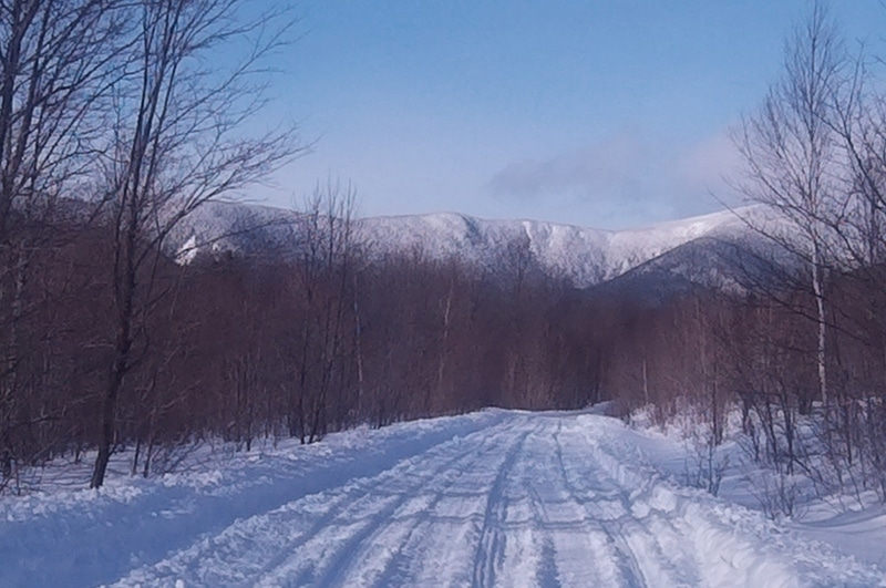
The snowmobile clubs were contending with two feet of fresh snow and holiday weekend crowds. Most clubs had just opened their trails for the season. The trails were packed by groomers but few were groomed smooth. There was some deep snow as we headed from Kingfield to Carrabassett Valley, in the shadow of Mount Abraham (aka Mt Abram,) looking towards Crocker Mountain.
When you get to Carrabassett Valley there are options to take a break (I needed one.) Ayotte’s Country Store (and gas station) is right on the trail. From there the trail crosses Rt27, heading behind The Sugarbowl (restaurant and bowling alley.)
The trail crosses the airport, the Carrabassett River, the Narrow Gauge Pathway, Maine Huts & Trails network. It was great to see walkers, skiers, and snowshoers all out enjoying the new snow.
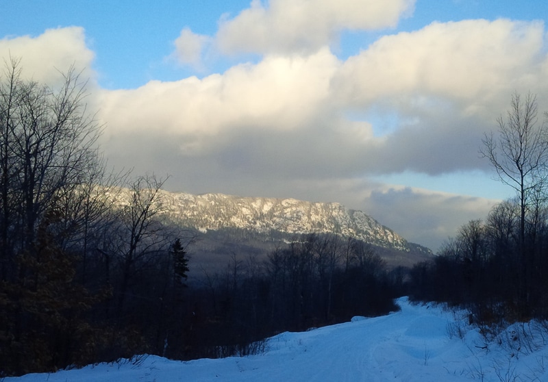
There are two routes around the Bigelows. The Maine Snowmobile Association map shows trail 115 on the north side of the mountains next to Flagstaff Lake, passing Bigelow Lodge. We followed 115 signs that led us around the south side of the Bigelow Range. Whichever trail you take you get a face full of Bigelow Mountains.
Once you get to Stratton / Eustis, it’s lunch time. Arnold Trail Snowmobile Club trails are well-marked with signs to Tea Pond Lodge & Cabins, The Looney Moose, White Wolf Inn, The Stratton Plaza, Trail’s End Steakhouse… plenty of options at the half-way point. You will see a lot of tracks going across Flagstaff Lake towards Pine’s Market. Yes, it’s beautiful. No, it’s not recommended. The safe trail is behind Flagstaff General Store. Head a little north on ITS 89, gas up at Pine’s Market and begin your trek east across Flagstaff on a bridge.
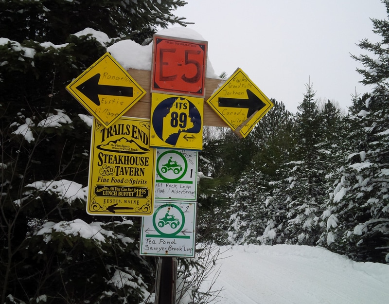
First sign mentioning The Forks! We got a little excited about that, and the wide, fast sections on ITS 89/86. Views abound…
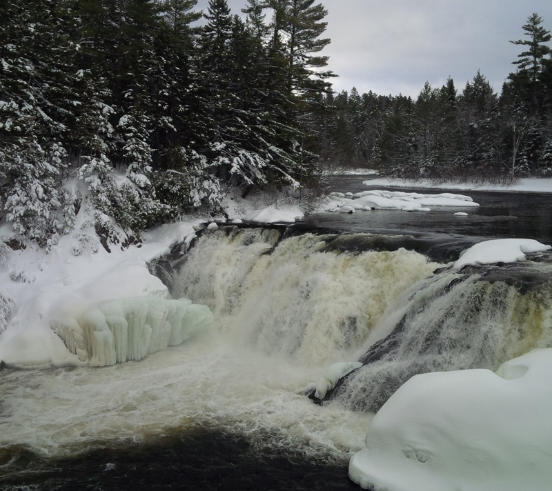
Follow the signs to Grand Falls, short detour, spectacular falls. From the snowmobile parking area there is a walking path to an overlook. It’s a two minute walk that gives you this view of the waterfalls:
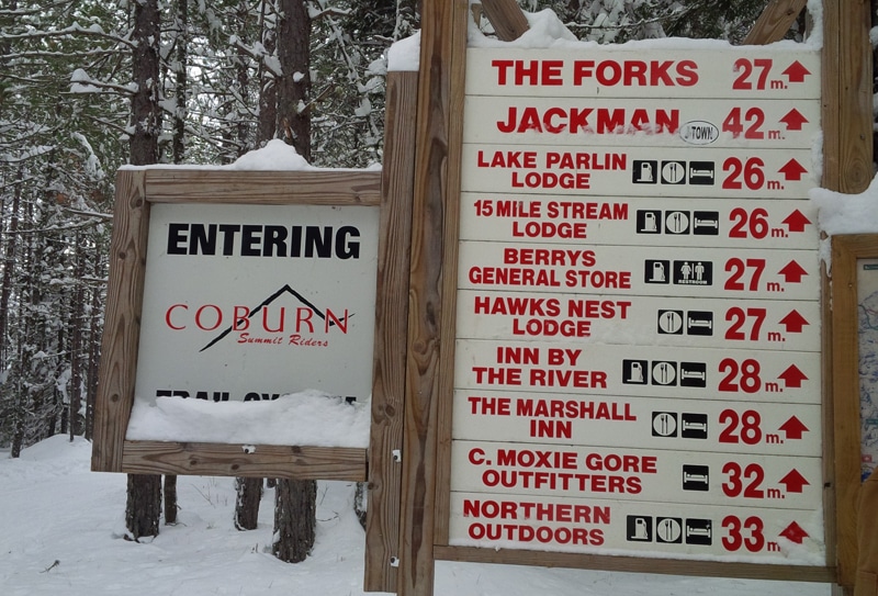
After Grand Falls you’ll come to your first Northern Outdoors signage… (another exciting moment for this weary sledder.)
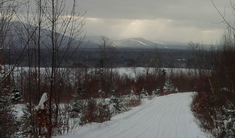
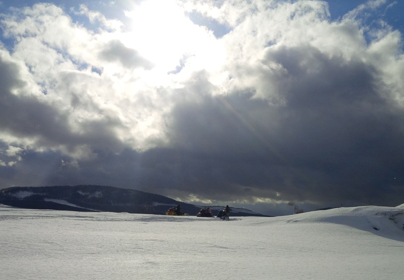
Some big vistas on this section of trail…
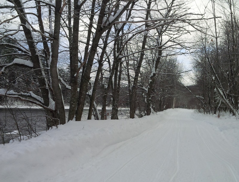
After ITS 89 and ITS 86 split (head southeast on ITS 86,) you travel some beautiful riverside trail. The Dead River and then the Kennebec after you reach The Forks.
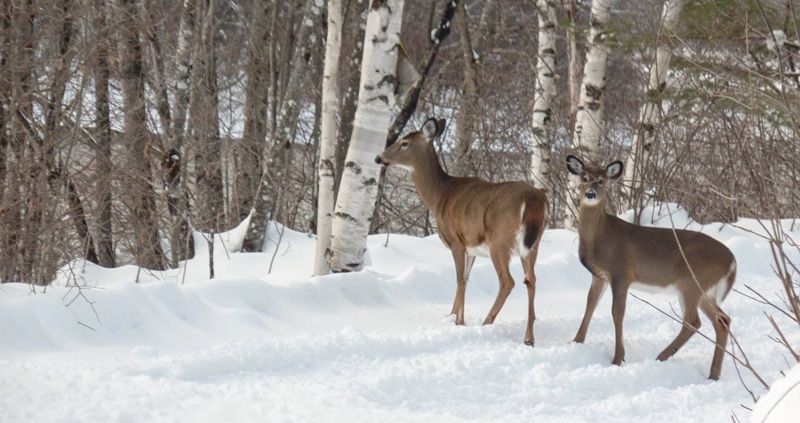
Riverside trail means lots of deer… and deep snow means the deer don’t want to leave the trail… (it was dark when we were on the deer filled section of trail so this is Beth’s photo.)
Nine hours was a lot of sled time for me but the pint (or two) of Honey Badger Rye was well-earned, and the Maine Fishwich tasted even better than usual. We slept soundly in our logdominium after some New Years Eve revelry and a soak in the big hot tub.


